
Digital mapping: New base for the restoration of the ecological corridor
- Nov 14, 2019
- 3 min read

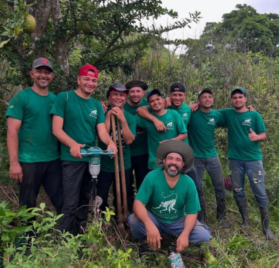
My name is Roxana Garcia and I am a student of Environmental Biology. Approximately 4 months ago, I started working as a volunteer at the Azuero Eco Foundation in the area of reforestation with a team willing to contribute to a healthy environment for our Azorean forests, months that have been of great opportunities for me. One of my central activities within the reforestation area was to participate in a massive and complete monitoring of different trees reforested in patches of our Azuero forests. This work consisted of going out into the field with our equipment in the mornings, where, when we arrived at the site, we proceeded to start our monitoring phase by means of a submetric GPS which is part of the Geographic Information Systems (GIS). The monitoring entailed providing a card (identification) to our trees taking into account the following points: date of planting, collaborator (data collector), owner of the plot, tree species, health status of the tree, height and width of the crown, and the most important part, the georeference of the point captured.
Starting to work on this part was rewarding because I gained a lot of experience, learned using a new technology, which made point locations of areas already reforested through a digital mapping using Geographic Information Systems (GIS) submetric GPS. I had very good experiences throughout the monitoring project and the most beneficial one for me as a participant in the Azuero Eco Foundation were:
The successful completion of digital monitoring in the field.
New knowledge in the area of GIS monitoring.
Exploring different areas of the Azuero region.
On some occasions, we had unforeseen issues during the monitoring. The EOS device we use requires extremely rigorous care and could not get wet. This did not stop us, and even if we could not monitor, we took our boots and field tools and planted seedlings in the missing areas so that no corner of our patch was left unreforested.

Vista desde el cerro Marchena, paritilla, prov. De Los Santos
It is very beneficial for the owners and for the Azuero Eco Foundation if the owners of the reforested patches get involved and relate to the planting, as it helps us to be informed about the state of our seedlings. It facilitates our efforts to restore the corridor and to strategically reseed it. From the day of the collection of seeds, the future trees begin to be our new children and as such we must take care of them, and follow them in their growth, which we always look at with a view towards improving our actions for the benefit of all fauna that is part of our corridor.
Digital monitoring using Submetric GPS was one of our spearheads in the implementation of digital mapping. As a Foundation that is always looking for innovative methods to restore the habitat of the Azuero spider monkey (ateles geoffroyi azuerensis), we never stop and always seek to implement new technologies without neglecting the benefits of any other. Our next step is to introduce drones so that we will be able to obtain new images, which will enable a new massive and more efficient monitoring.
In general, it was very gratifying to participate with other colleagues in the field in this new experience that will be very beneficial for our tropical dry forest of Azuero.


Comments